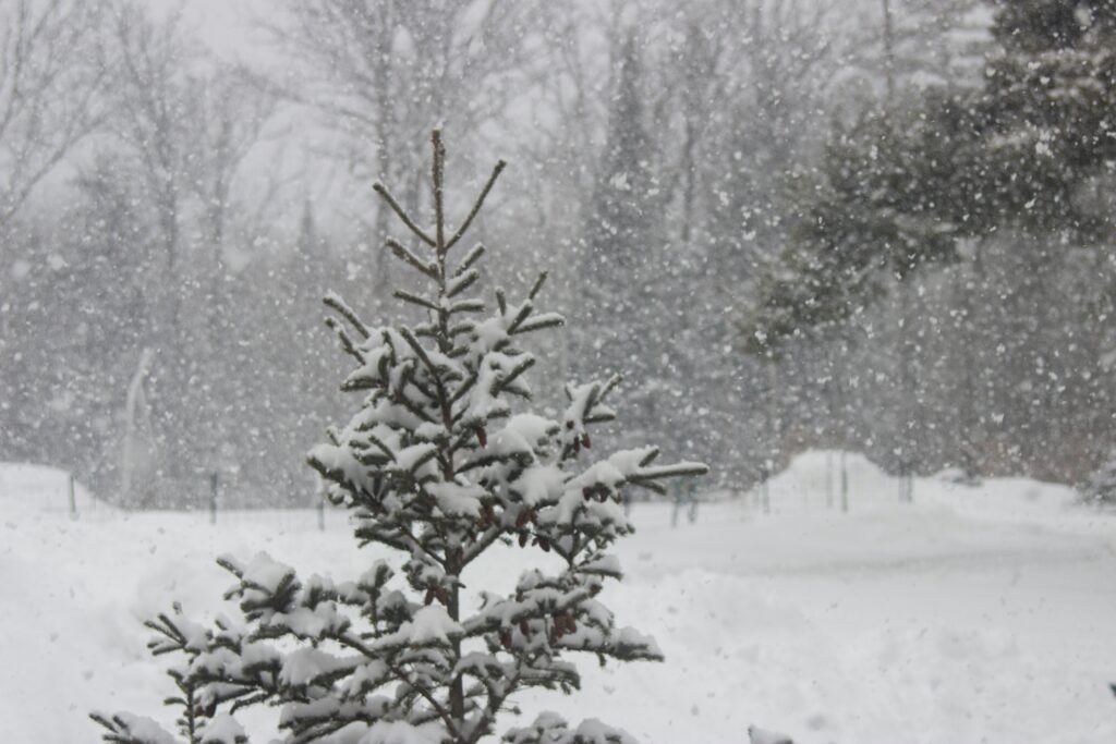
New Jersey is bracing for significant snowfall as a winter storm moves into the region Sunday, bringing 5 to 8 inches of snow to parts of the state and up to 10 inches in higher elevations. The National Weather Service has issued winter storm warnings for Hunterdon, Morris, Passaic, Sussex, Warren, and portions of Bergen, Essex, and Union counties, effective through early Monday morning.
Winter weather advisories are also in place for 10 additional counties, including Camden, Gloucester, Mercer, and Middlesex, where 2 to 5 inches of snow are forecast, with isolated totals up to 6 inches.
Heavy snow is expected to peak Sunday afternoon, with rates exceeding 1 inch per hour in some areas. The I-95 corridor remains a focus of uncertainty, as fluctuating temperatures could result in a mix of snow, rain, and freezing rain before transitioning back to snow.
“This is where the forecast will be the trickiest,” forecasters noted, as slight shifts in the storm’s track could significantly impact snowfall totals.
State of Emergency Declared
Governor Phil Murphy declared a state of emergency across all 21 counties, urging residents to stay off the roads. “Stay warm and stay safe,” Murphy said Sunday, emphasizing the state’s preparation efforts for the storm and the frigid temperatures expected to follow.
Temperatures will plunge below freezing Sunday night and remain dangerously cold through the week, with wind chills dipping below zero in some areas. The National Weather Service has warned of an increased risk of hypothermia, frostbite, and infrastructure impacts such as frozen pipes.
Regional Impacts
The heaviest snow is projected for northwestern New Jersey, with Sussex County’s higher elevations potentially seeing up to 10 inches. Areas along the I-95 corridor, including portions of Bergen, Essex, and Union counties, could receive 6 to 8 inches.
In South Jersey and along the Jersey Shore, snowfall totals are expected to be more modest, ranging from 1 to 4 inches.
Forecasters have also highlighted potential travel hazards, including slick roads and reduced visibility caused by blowing snow. Winds could gust up to 35 mph during the storm.
The Martin Luther King Jr. Day holiday on Monday may help alleviate road congestion, allowing snow removal crews to clear highways and local roads.
After the snow subsides late Sunday, bitter cold temperatures will dominate. Highs on Tuesday are forecast in the teens, with overnight lows plunging to single digits. Wind chills could reach as low as -10°F in some areas.
“This cold stretch will be the most significant of the season,” forecasters said, urging residents to limit outdoor exposure and ensure pets are kept indoors.
Winter Storm Warnings (Through Early Monday)
- Hunterdon, Morris, Sussex, Warren: 5-8 inches of snow; gusts up to 35 mph.
- Bergen, Essex, Passaic, Union: 5-7 inches of snow; hazardous travel expected.
- Mercer, Somerset: 4-7 inches of snow; blowing snow likely to reduce visibility.
Winter Weather Advisories
- Camden, Gloucester, Salem, Burlington: 3-5 inches of snow with periods of sleet.
- Middlesex, Hudson, Eastern Essex, Eastern Union: 3-5 inches of snow; locally higher amounts possible.
Residents are advised to monitor updates and exercise caution during the storm and subsequent cold snap.
The New Jersey Digest is a new jersey magazine that has chronicled daily life in the Garden State for over 10 years.