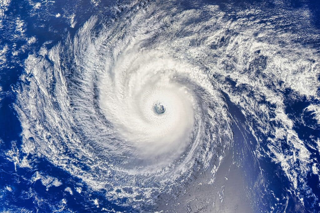
As Hurricane Erin strengthens offshore, officials warn that it could create dangerous conditions along the Jersey Shore this week. Rip currents, tall waves, and localized coastal flooding are the primary threats.
Erin’s Location and Threat
Hurricane Erin is currently more than 1,000 miles southeast of Cape Hatteras, North Carolina, moving northwest at 9 mph. Its hurricane-force winds extend up to 80 miles from the center, with tropical-storm-force winds reaching more than 200 miles. While the storm is not expected to make landfall in New Jersey, its large size is already sending high surf toward the coast. Hurricane Erin was upgraded to a Category 5 late last week, but has since fallen to between a Category 2 and 3 storm.
Between Aug 15–16, Hurricane #Erin exploded from Cat 1 to Cat 5 in just over 24 hours. Winds ramped up 85 mph—topping out at 160 mph—over abnormally hot Atlantic waters amplified by human-caused, heat-trapping pollution. Here’s what attribution science shows 🧵
[image or embed]— Climate Central (@climatecentral.org) August 18, 2025 at 7:27 PM
Swimming bans have been enacted at Belmar, Wildwood, Bay Head, Island Beach State Park, Atlantic City, and other towns. Waves along the Jersey Shore could reach 8 to 15 feet this week. High surf advisories remain in effect through Friday, with officials warning of beach erosion and minor coastal flooding. Two recent deaths at Seaside Heights and Belmar underscore the dangers posed by strong rip currents this summer.
Guidance for Residents and Visitors
Gov. Phil Murphy urged beachgoers to stay out of the water. “This is no time to be complacent,” he said Tuesday. Some towns are closing beach access gates after lifeguard hours to prevent after-hours swimming. Red flags mark the most hazardous conditions. Residents and visitors are advised to follow posted signs and lifeguard instructions and avoid entering the ocean until conditions improve.
Duration and Outlook
The rough surf is expected to peak Wednesday and Thursday and may continue into Saturday if Erin moves slowly. Waves should gradually subside over the weekend but could remain hazardous above five feet along parts of the Jersey Shore. Temperatures along the coast are expected in the high 70s to low 80s, but the ocean will remain unsafe for swimming. Even though Erin is well offshore, its size and continuing circulation mean rip currents and tall waves will affect New Jersey beaches for several days.
The New Jersey Digest is a new jersey magazine that has chronicled daily life in the Garden State for over 10 years.
- Staffhttps://thedigestonline.com/author/thedigeststaff/
- Staffhttps://thedigestonline.com/author/thedigeststaff/
- Staffhttps://thedigestonline.com/author/thedigeststaff/
- Staffhttps://thedigestonline.com/author/thedigeststaff/


