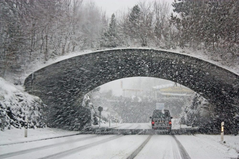
Reported as the biggest snowstorm of the season, Nor’easter Lorraine hit the Garden State with high winds and rapid snowfall Tuesday morning. Areas of northern and some parts of central-northern New Jersey are heavily impacted–a half to a full foot of snow sticking across northwest regions. Here are the essential updates with regards to the storm.
How Much Snow to Expect
Six to 12 inches of snow were expected across the state, with a possibility of more snowfall in areas with higher elevations–including Sussex, Warren, Morris, Union, Essex, Bergen, and Hudson counties. Sussex county reached the highest snowfall with 13.2 inches.
When Will It Stop Snowing?
Precipitation began late Monday night starting with rain and sleet, then transitioning to heavy snowfall early Tuesday morning. It is expected to taper off from noon to 2 p.m.
Power Outages
With peak gusts of wind at 65 mph down the Jersey shore and winds reaching inland at 40 to 50 mph, 12,000 homes and businesses have already reported losing power as of 10am this morning. Several counties along the Jersey Shore are under a High Wind Warning from Tuesday through Wednesday Morning. Due to low visibility and poor weather conditions, people are advised to avoid commuting morning through evening.
The latest observations and thoughts at 11 AM.https://t.co/gLhg2enKcM#nywx #njwx #pawx #ctwx
— NY NJ PA Weather (@nynjpaweather) February 13, 2024
School Closings
Most school districts in New Jersey are closed Tuesday with a few operating for remote learning and delayed openings due to snow and dangerous travel conditions.
- Lauren Dresner
- Lauren Dresner
- Lauren Dresner
- Lauren Dresner
- Lauren Dresner
- Lauren Dresner


