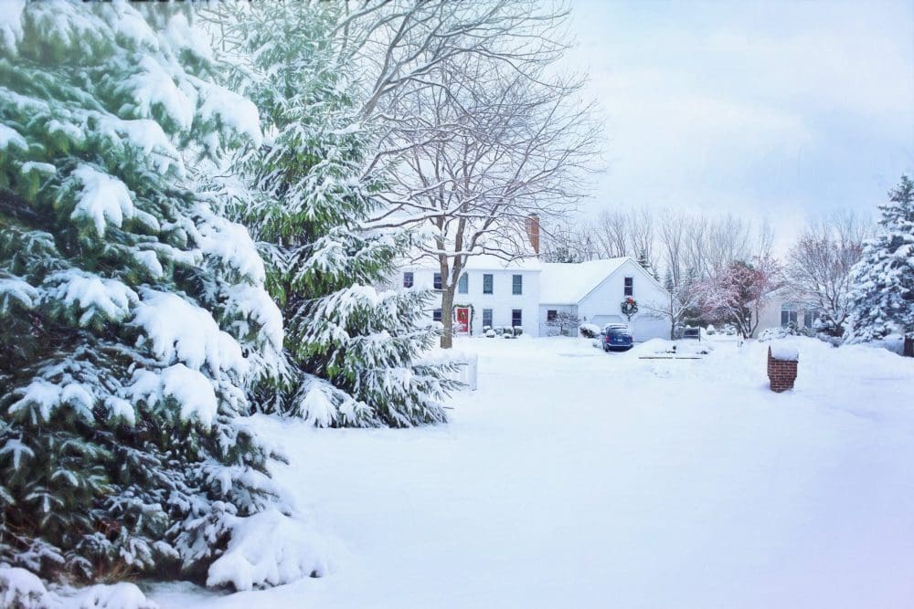
Last year, New Jersey saw hardly any snow—marking what was an abnormal winter for the Garden State. This year, we’ve seen one good snowfall so far, but not much beyond that. However, despite changing trends in the climate, February is looking to be the snowiest month NJ has seen in some time, which happens to go right along with past weather trends in New Jersey.
February: NJ’s Snowiest Month
Historically speaking, February is the month with the highest snowfall in and around New Jersey. This year’s forecast aligns with this pattern, anticipating snowfall totals above the norm in the region.
According to Mike Mihalik—a NJ meteorologist for WeatherWorks—high atmospheric pressure north of Greenland will slow precipitation systems as they travel through the coast. This creates more moisture. When increased moisture is combined with cold temperatures, we get snow.
In February, Mihalik predicts snowfall totals to surpass the usual expectations. Rather than experiencing multiple occurrences of low to moderate snowfall, the precipitation is anticipated to occur in the form of one or two substantial Nor’easters. Despite the heightened snowfall, below-average temperatures are not anticipated.
Mihalik goes on to predict what portion of the month will be hit the hardest with snow. By looking at historical patterns and combining them along with a present-day atmospheric analysis, Mihalik is able to hypothesize that New Jersey will see a slow beginning to the month, with increased snowfall in the latter half.
Snow Storm in New Jersey
With potential snow storms on the horizon for February, it is paramount that New Jersey residents are prepared for icy roads and hazardous conditions.
Grab your shovel, stock up on rock salt for driveways and pathways, and have your snow boots ready: snow is coming to NJ.
The New Jersey Digest is a new jersey magazine that has chronicled daily life in the Garden State for over 10 years.
- Staffhttps://thedigestonline.com/author/thedigeststaff/
- Staffhttps://thedigestonline.com/author/thedigeststaff/
- Staffhttps://thedigestonline.com/author/thedigeststaff/
- Staffhttps://thedigestonline.com/author/thedigeststaff/


