

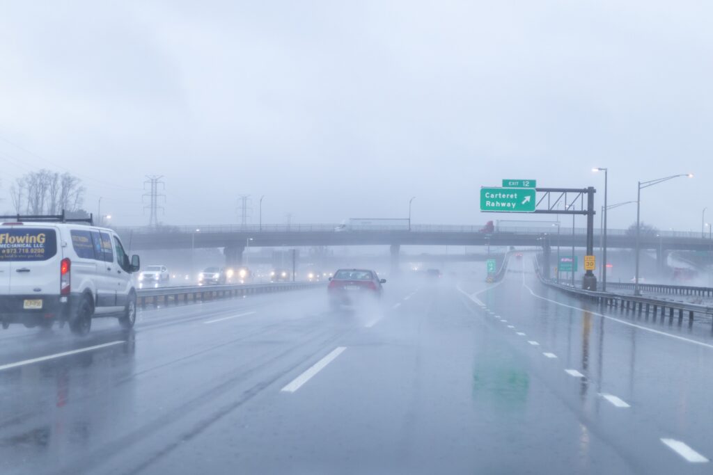
Rain lasts into Friday, with a few wet flakes possible in the northwest. Then it turns much colder.
Keep the umbrella handy—you might need it. The storm we’ve been tracking all week arrives today, and it’s bringing a few more surprises than the forecast originally suggested.
Along with widespread rain, New Jersey could see thunderstorms, gusty winds, and hail this afternoon. “As the system passes and strengthens, a few thunderstorms may reach severe limits this afternoon,” the National Weather Service said early Thursday. “The main risk is damaging winds and large hail.” There’s also a low chance of an isolated tornado, according to NJ.com.
Most of the state is under a marginal risk—level 1 of 5—for severe weather today. FOX Weather puts Newark in that zone, and says the overall threat is limited, with most storms expected to stay below severe levels.
Today: Rain and Storms
The heaviest rain is expected Thursday afternoon. The northern half of the state should see 0.5 to 1.25 inches, while areas farther south are expected to see less than half an inch. Forecasters say the exact track of the storm is still uncertain, and will decide how much rain falls where. Highs are forecast to reach the mid-50s to low 60s.
A coastal flood advisory is in effect for Ocean County until 2 p.m. on Thursday. Some rumbles of thunder are possible tonight into Friday morning.
Friday: Rain Lingers, Potential Snow Up North
Rain will continue sporadically throughout Friday before the storm pulls away Friday night. FOX Weather says the system should develop into a nor’easter off the coast by then.
What about the chance of snow we reported earlier in the week? In northwestern New Jersey, some elevated spots may see a few wet snowflakes mixing in with the rain, but no accumulation is expected.
The season’s first significant snow is headed north. According to FOX Weather, the Adirondacks and the higher elevations of Vermont and northern New England are in line for it, with Winter Storm Warnings in place—no snow is expected to accumulate in the major cities along I-95 south of Maine.
So if you’re looking for an early season snow fix, you’ll have to head north. Once the roads clear.
Temperatures Drop Over the Weekend
Colder air moves in behind the storm starting Friday. Highs on Friday and Saturday will linger in the 40s; overnight lows both nights will drop into the low 30s and high 20s. Saturday will be breezy to windy, with gusts up to 30 mph.
Sunday stays breezy, with slightly warmer highs in the upper 40s to low 50s—still below average for mid-November. Monday brings sunshine and highs in the 50s for much of the state.
As always, the forecast could still shift, especially with the track in question, so check the National Weather Service for the latest.
For most of New Jersey, pull out the winter coat—but the shovel can likely stay put for now.

The New Jersey Digest is a new jersey magazine that has chronicled daily life in the Garden State for over 10 years.
