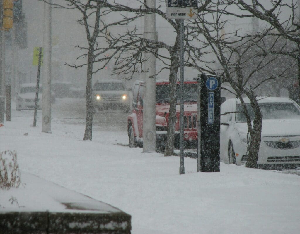
A winter storm will move into the tri-state area this weekend, bringing snow, sleet, and freezing rain. A winter storm watch takes effect at 7 p.m. Saturday, with hazardous travel conditions expected.
Forecasters predict 3 to 6 inches of snow in northern New Jersey, with ice accumulation likely across much of the state. Snow is expected to begin before 1 a.m. Sunday, transitioning to a wintry mix later in the morning. Precipitation should taper off by early afternoon.
New York City could see 3 to 5 inches of snow, while areas north of the city may get up to 8 inches. Southern New Jersey is expected to receive mostly rain.
The storm follows a wintry mix earlier in the week and is part of an active weather pattern. More snow is possible Tuesday, with additional storms likely into mid-February.
Drivers are urged to use caution, as icy conditions could make roads dangerous.
The New Jersey Digest is a new jersey magazine that has chronicled daily life in the Garden State for over 10 years.