Newly released satellite imagery from NASA reveals the extensive destruction left behind by the Jones Road wildfire, one of New Jersey’s most significant blazes in the past 20 years.
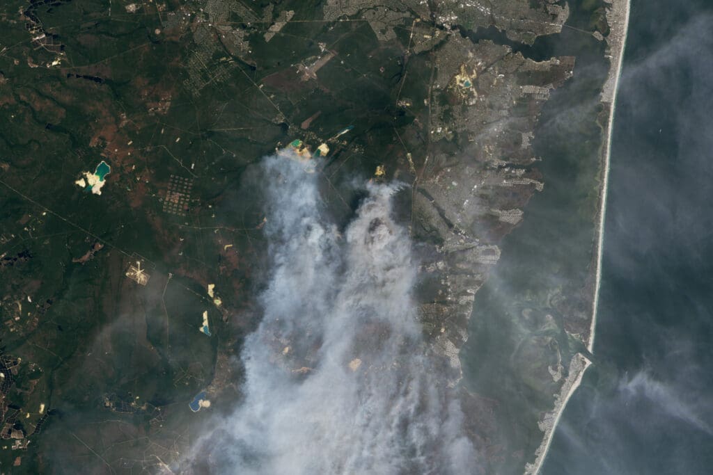
Captured by the Operational Land Imager-2 aboard the Landsat 9 satellite, the images depict massive plumes of smoke and scorched terrain stretching across the Pine Barrens, a coastal forest region historically vulnerable to wildfires.
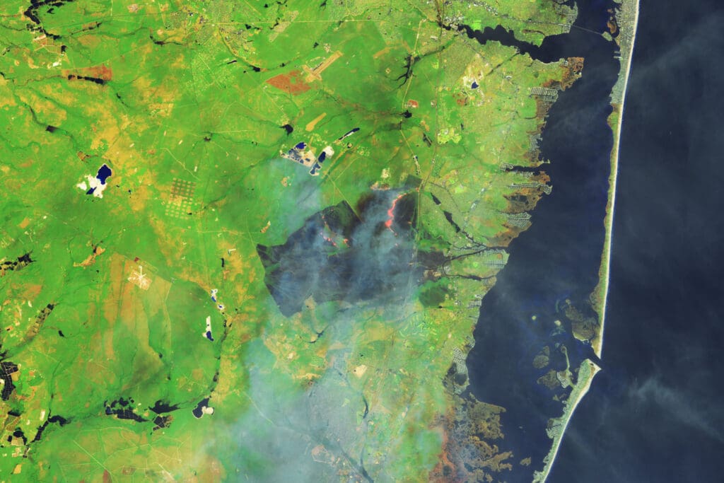
The blaze ignited on April 22 within the Greenwood Wildlife Management Area near Waretown and quickly grew into a major crisis, with smoke impacting air quality as far away as New York City.
In response, officials shut down key routes such as the Garden State Parkway and Route 532, ordered the evacuation of more than 5,000 residents, and proactively cut electricity for over 25,000 customers to ensure public safety. By April 24, the fire had consumed upwards of 15,000 acres. Authorities have arrested 19-year-old Joseph Kling, a Waretown resident, in connection with the fire. He faces charges of aggravated arson and arson and is currently held at Ocean County Jail pending a detention hearing.
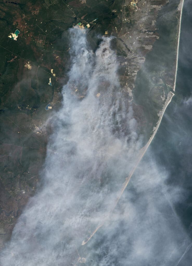
*Images from NASA’s Earth Observatory, by Wanmei Liang, using Landsat data provided by the U.S. Geological Survey
The New Jersey Digest is a new jersey magazine that has chronicled daily life in the Garden State for over 10 years.