New Jersey forecasters are starting to circle this weekend on the calendar.
The chance of a meaningful snowstorm impacting the state has increased, according to the National Weather Service, though exactly how much snow falls—and where—is still very much in question.
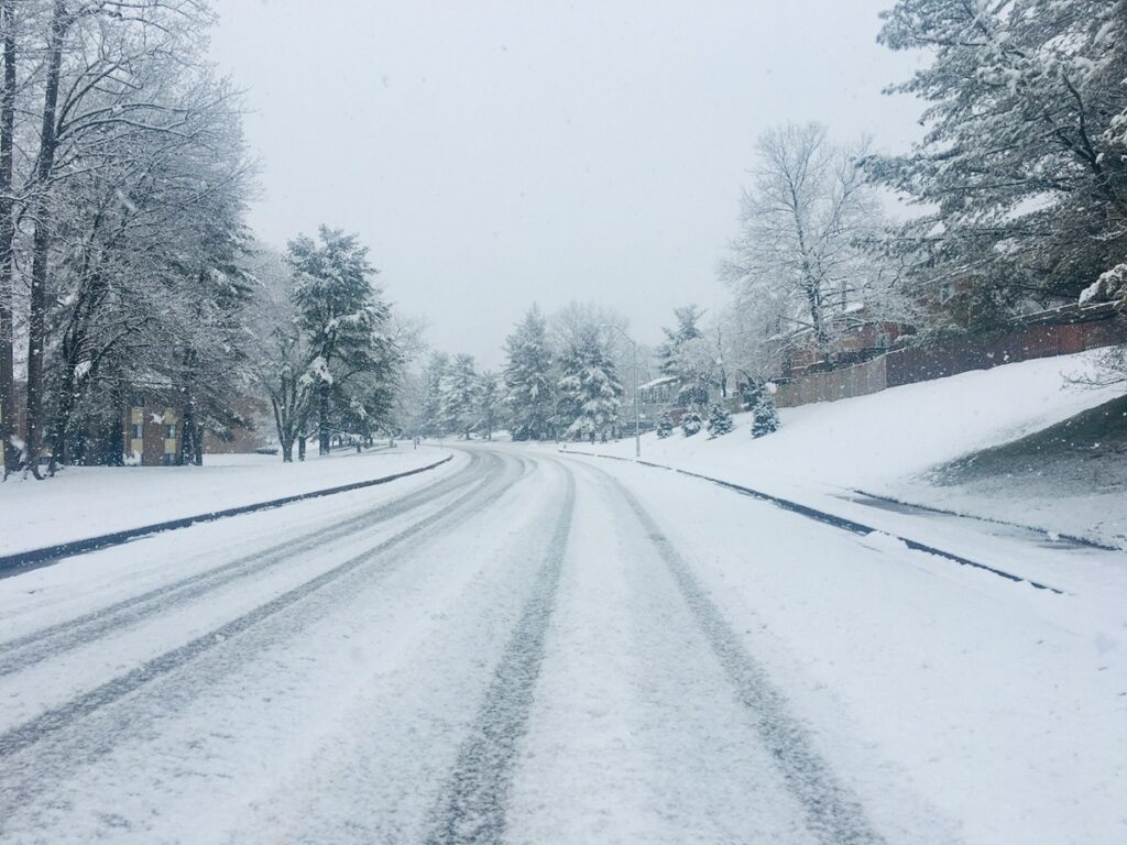
Right now, most forecast models show a storm taking shape over the southwestern United States on Friday before sliding east and moving up the coast. If that track holds, snow could reach New Jersey late Saturday, January 24 and continue into Sunday, with some scenarios stretching into early Monday.
What happens next depends on distance and timing.
Forecasters say the Mid-Atlantic is likely to sit on the colder, northern edge of the storm. That’s often a favorable setup for snow, but only if the system tracks close enough to the coast. A small shift east or west could mean the difference between plowable snow and something far less impressive.
At the moment, southern New Jersey has the highest odds. The weather service places the chance of six inches or more in the 40 to 60 percent range there. Those probabilities fade as you move north, but areas south and west of the I-95 corridor still have a 60 to 70 percent chance of seeing at least a couple of inches.
It’s still early. Very early. Especially for town-by-town calls.
The atmospheric pieces that will ultimately shape this storm are still thousands of miles away, which is why forecasters are emphasizing uncertainty over totals. Snowfall maps will likely change several times before the weekend arrives.
Timing will be everything here. Most early models indicate that snow will arrive late Saturday, becoming steadier overnight, and lingering through much of Sunday. If the system slows down, some impacts could drag into Monday morning.
Before any snow arrives, New Jersey will get a short break from the deep cold.
Temperatures are expected to climb into the 30s on Wednesday and reach the 40s on Thursday. That mild window closes quickly. Another Arctic front is expected late Thursday, sending temperatures sharply lower by Friday.
By the weekend, highs are expected to struggle into the teens and 20s, with overnight lows dropping into the single digits and teens. That kind of cold would support accumulation if snow does fall.
For now, forecasters say the smart move is patience. Confidence should improve as the storm gets closer and the models begin to lock in.
The New Jersey Digest is a new jersey magazine that has chronicled daily life in the Garden State for over 10 years.