Five New Jersey counties are under winter weather alerts ahead of a Tuesday storm expected to bring a mix of snow and sleet. Sussex County faces the heaviest snow, with totals of 4 to 7 inches possible and snowfall rates of up to an inch per hour. Hunterdon, Morris, Warren and northern Passaic counties are under winter weather advisories.
The storm will begin as snow northwest of I-95 before transitioning to rain from south to north through the morning and early afternoon. Forecasters are warning that the Tuesday morning commute could be challenging, especially in areas seeing the heaviest snow.
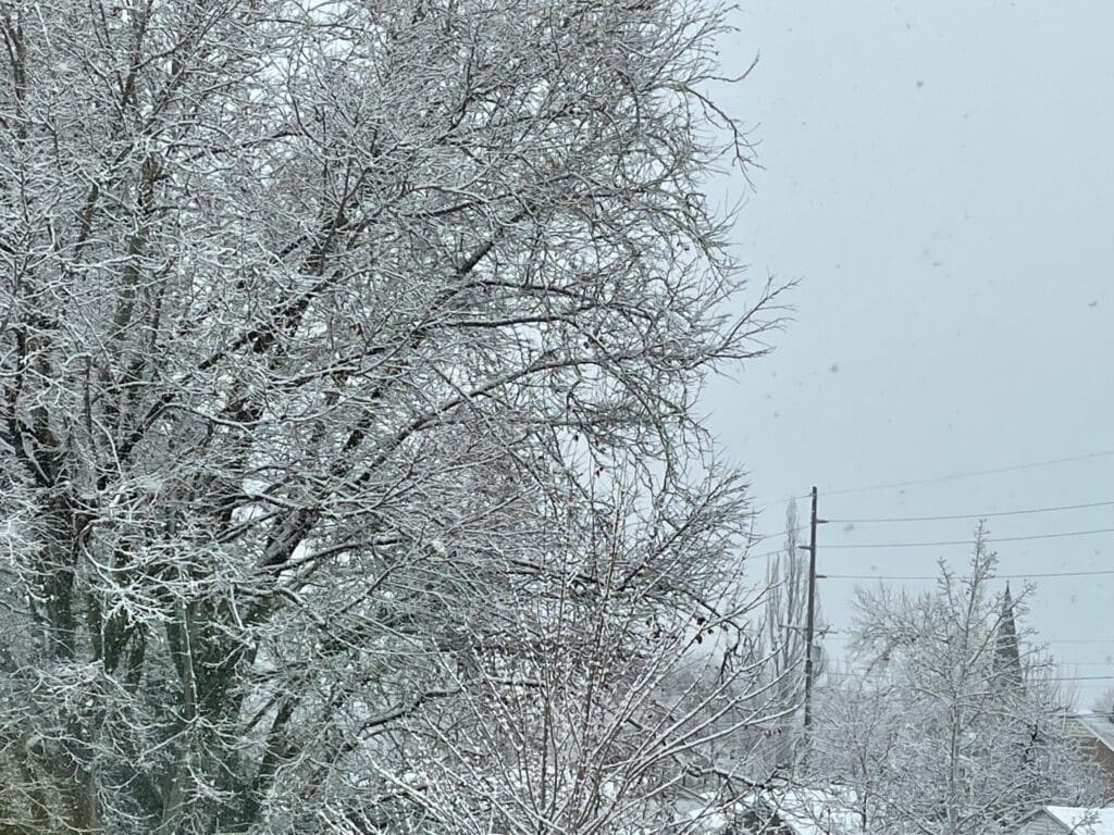
County Forecasts
- Hunterdon: 1 to 3 inches of snow and sleet. Transition to rain by late morning.
- Morris: 1 to 4 inches of snow and sleet. Snowfall up to 1 inch per hour. Changes to mostly rain by afternoon.
- Sussex: 4 to 7 inches possible. Heavy snow with rates exceeding 1 inch per hour. Some sleet or rain may mix in.
- Warren: 2 to 5 inches of snow and sleet. Snowfall up to 1 inch per hour. Transition to rain by afternoon.
- Western Passaic: 3 to 5 inches of snow. Hazardous conditions may impact commutes.
Rainfall totals of roughly three-quarters to one and a quarter inches are expected. No flooding is anticipated. Temperatures Tuesday will range from the mid-30s in the northwest to near 50 degrees along the southern coast. Winds will pick up to 20-25 mph with gusts nearing 30 mph.
The storm moves offshore Tuesday evening, leaving northwest winds behind. There is a freeze watch overnight. Temperatures are forecasted to drop into the 20s through the late evening and early morning, presenting a risk for black ice on roads early Wednesday morning.
Wednesday will bring dry conditions with mostly sunny skies and highs in the mid-30s to low 40s. Northwest winds will ease to 5-10 mph.
Another cold front is expected Thursday, bringing colder air and possible snow showers near and north of I-78. Thursday night could be the coldest night of the season so far, with lows in the teens and wind chills in the single digits to mid-teens. Friday will remain cold, with highs only reaching the upper 20s to low 30s inland and slightly warmer along the coasts.
Heading into the week, one thing is certain: it’s beginning to feel like winter. If you are in select areas of New Jersey, expect the first significant snowfall of the season to prove it.
The New Jersey Digest is a new jersey magazine that has chronicled daily life in the Garden State for over 10 years.