


NOAA projects a better than 80% chance this year’s El Niño could be the strongest since 1950. State climatologist John Krasting of Rutgers says it could mean more coastal storms and flooding for New Jersey, but snow and temperatures remain unclear.
El Niño is strengthening and expected to last into early 2027. New Jersey’s state climatologist says it could shape the winter ahead.
In a Q&A published by the Rutgers Climate and Energy Institute (RCEI), John Krasting, the state climatologist and an RCEI affiliate, calls this year’s event “exceptionally strong.” The National Oceanic and Atmospheric Administration (NOAA) reported a sea surface temperature anomaly of 2.5°C (4.5°F) in the tropical Pacific this past week.
The season could be an active one. It follows a powerful nor’easter in September, and another is moving through this week.
What Is El Niño?
Krasting describes El Niño as a “naturally occurring process in the tropical Pacific Ocean where the trade winds relax and the upper ocean warms.” The warming covers a large enough area to influence the jet stream and weather patterns around the world—a long-distance connection scientists call “teleconnections.”
El Niño happens every two to seven years. Its opposite, La Niña, brings cooler-than-average ocean temperatures—the pattern in place last year.
But not every El Niño is created equal, and this one is stronger than most.
How Strong Is This One?
Scientists call a warming of at least 0.5°C (0.9°F) above the rest of the tropics an El Niño. This year’s is well past that at 2.5°C (4.5°F), and anything above 2.0°C (3.6°F) is considered a “Super El Niño,” Krasting says. Only five such events have occurred since 1965—this year’s joins them.
NOAA projects a better than 80% chance that this year’s El Niño could be the strongest since 1950, before the ocean begins to cool in the spring.
The number matters less for New Jersey. What matters is the effect the warming has on the jet stream—and how that affects conditions at the Jersey Shore.
What It Could Mean for New Jersey
The honest answer? No one knows what it means for New Jersey. Not yet, anyway.
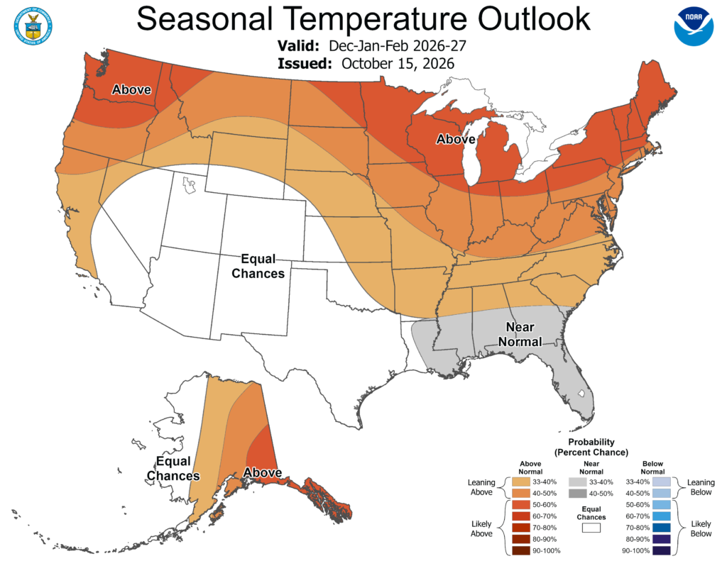
“Every El Niño has its own ‘personality,’ and only time will tell how it will ultimately impact New Jersey,” Krasting says. He doesn’t make any predictions about snow or temperatures for the state.
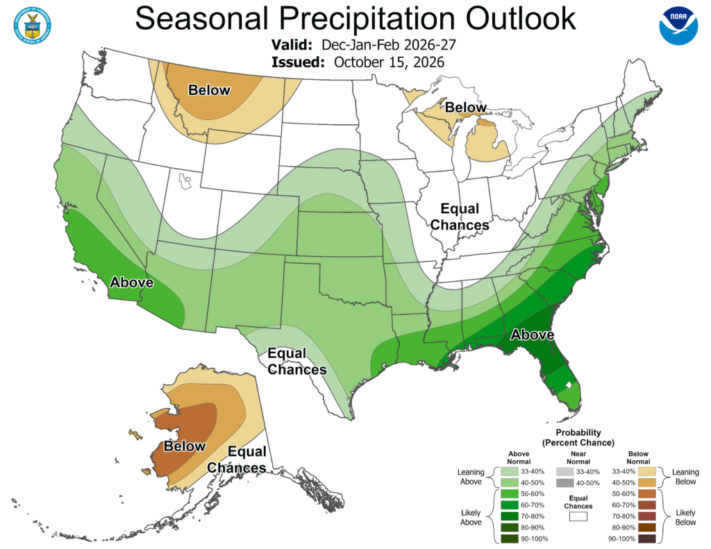
We can look to past events for some clues, though. El Niño tends to supercharge a river of air south of us called the subtropical jet stream, which carries warm, humid air from the tropics north across the Southeast. A stronger subtropical jet typically fuels more coastal storms, Krasting says, which could mean more rainfall and coastal flooding for New Jersey, and “we will certainly be on the lookout for increased activity as we head into the winter,” he says.
The Shore Is Vulnerable
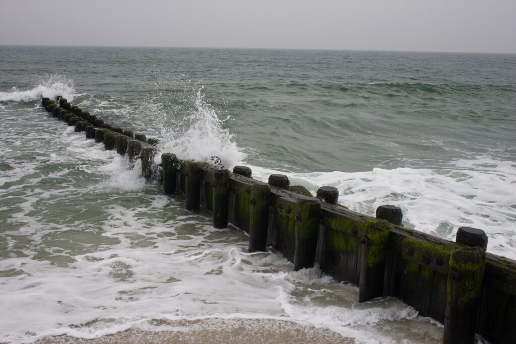
That’s an added layer of concern: the Shore is still recovering from September. The powerful, early-season nor’easter in late September caused significant erosion—the worst since Superstorm Sandy in some places. In Holgate, on Long Beach Island, parts of the beach and dunes washed away, leaving steep cliffs of sand, according to Krasting.
That’s important. Dunes and wide beaches are the state’s “first line of defense against coastal flooding,” Krasting says. September’s storm damaged that barrier right before a season that could bring increased activity, leaving the Shore vulnerable to potential threats.
Does Climate Change Rewrite the Playbook?
Whether climate change changes the picture is a question Krasting says scientists are still working on.
El Niño should remain the main driver of year-to-year weather swings even as the planet warms, but it’s unclear whether future events will be stronger or weaker. However, Krasting expects that El Niño events happening on top of a warmer baseline are likely to make their usual impacts—like heavy rainfall—more pronounced in some parts of the world.
If September’s nor’easter was a preview of the season, coastal communities should be on the lookout for potential impacts.
It’s certainly plausible that New Jersey could see an extreme winter at the hands of a Super El Niño, but for now, the real answer is the one Krasting gave: only time will tell.
We’ll be tracking every storm throughout the season.
This story draws on a Q&A with John Krasting, originally published by Rutgers Today and shared by the Rutgers Climate and Energy Institute. Read that here.

Peter Candia is the Food + Drink Editor at New Jersey Digest. A graduate of The Culinary Institute of America, Peter found a passion for writing midway through school and never looked back. He is a former line cook, server and bartender at top-rated restaurants in the tri-state area. In addition to food, Peter enjoys politics, music, sports and anything New Jersey.
